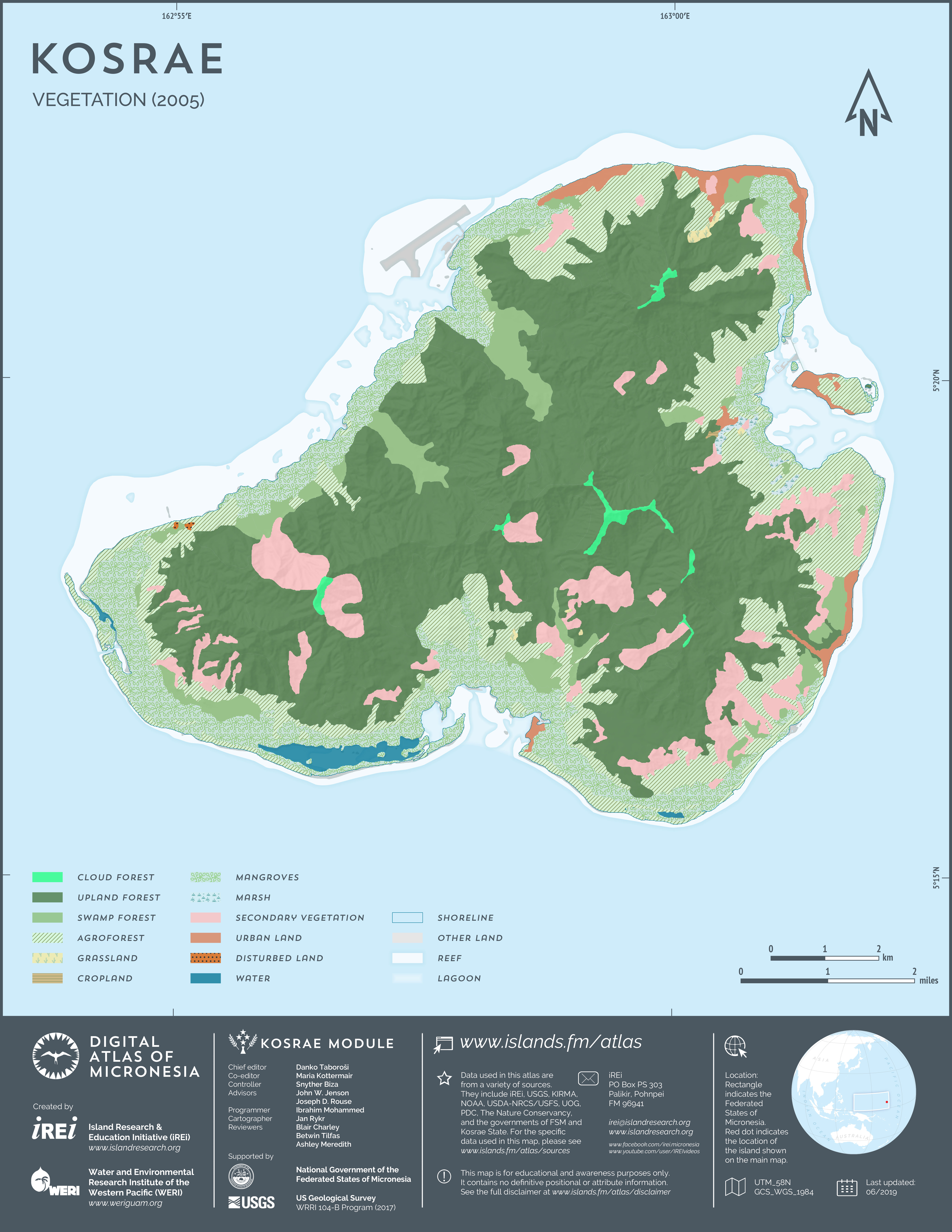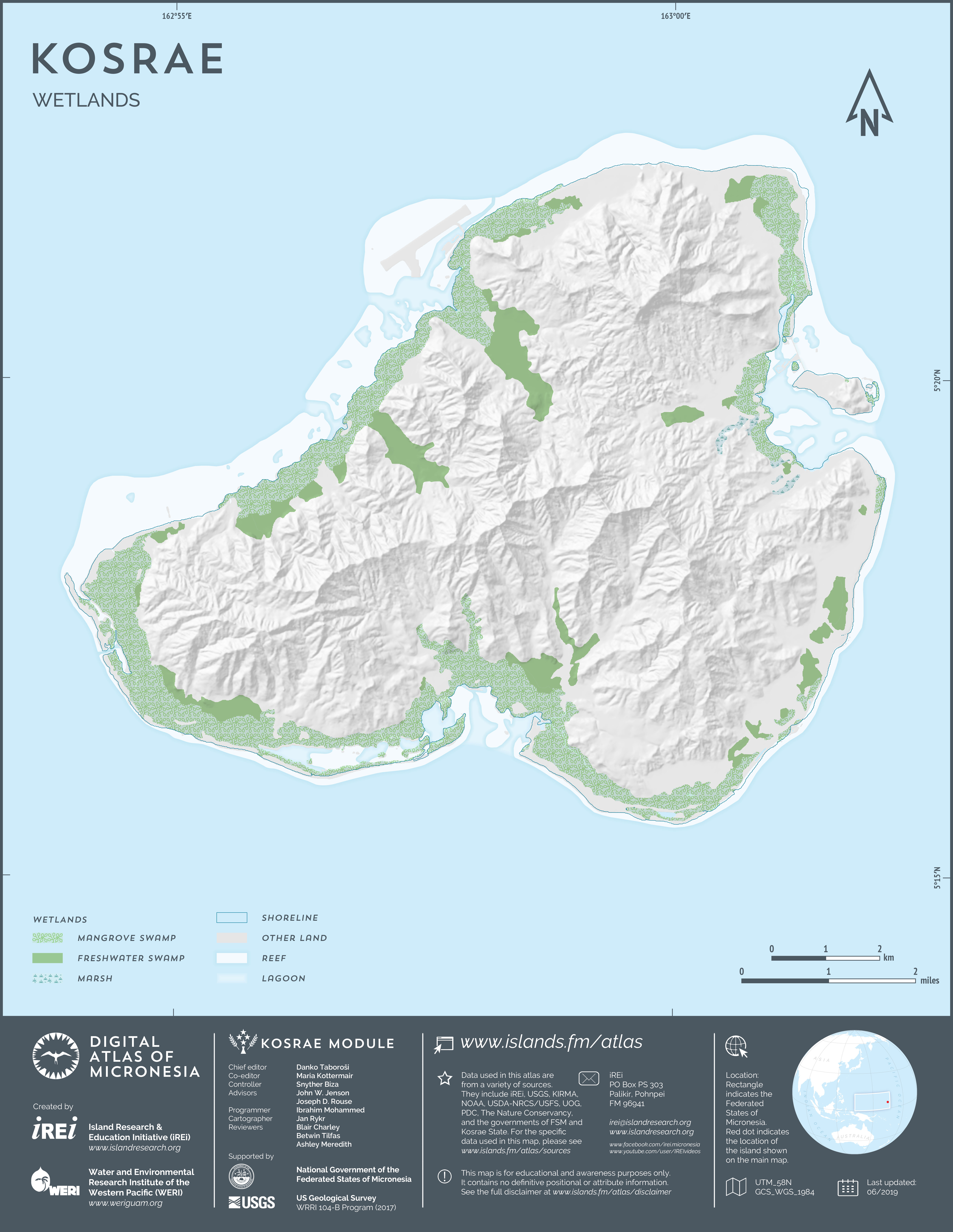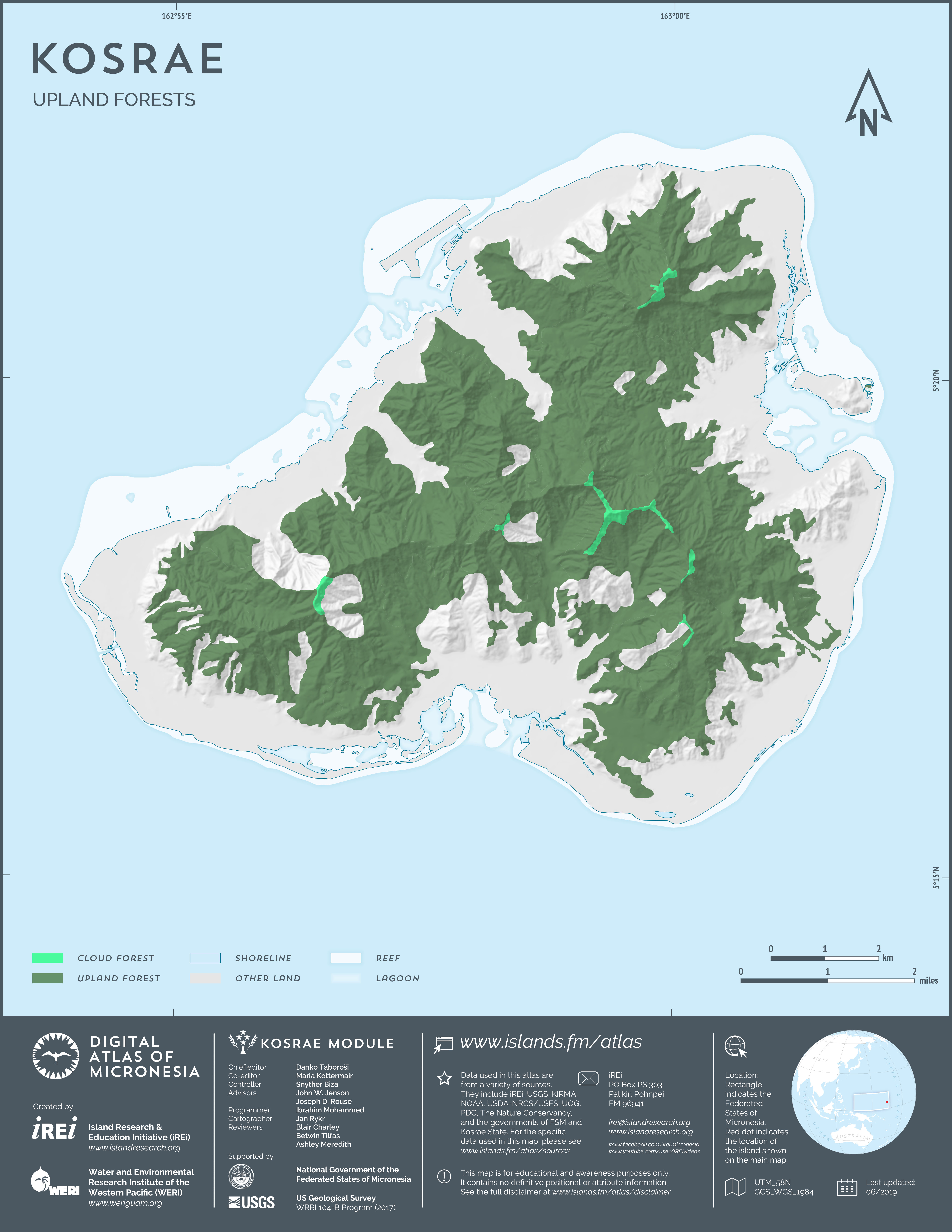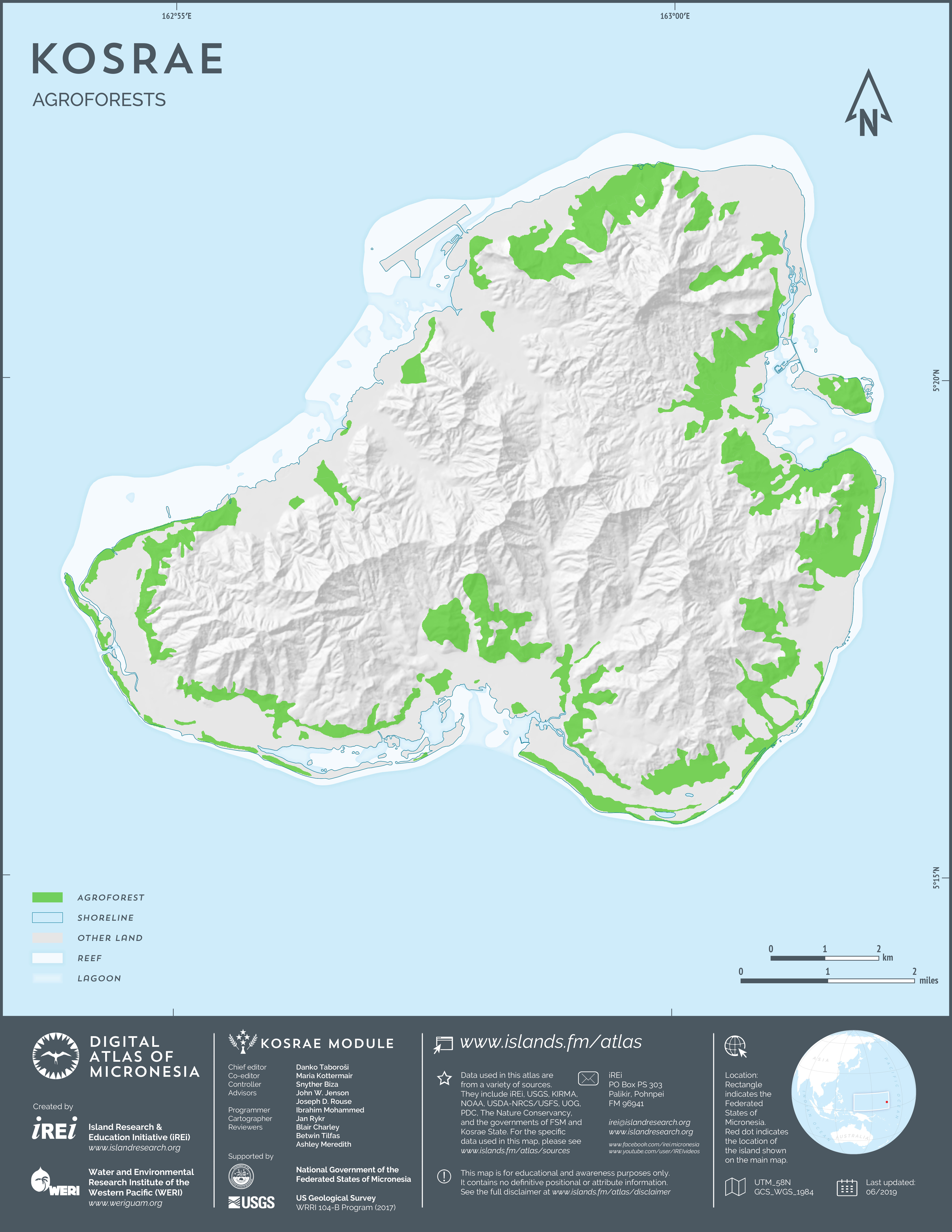
Vegetation (2004-2007)
This map shows the vegetation of Kosrae between 2004 and 2007. The dataset was developed from 2004-2007 QuickBird satellite imagery by DigitalGlobe through land cover classification carried out by U.S. Forest Service (2007). The dataset was slightly modified by Island Research & Education Initiative (iREi) (2019) to better match 2015-2018 WorldView-2 satellite imagery provided by U.S. Department of Agriculture (USDA) – Natural Resources Conservation Service (NRCS).